Science and Planning Manager for Mālama Maunalua
As science and planning manager for Mālama Maunalua I am developing our water quality and biocultural programs to inform watershed and marine ecosystem restoration throughout Maunalua. I also manage scientific collaborations and direction.
Mālama Maunalua’s watershed water quality and ecosystem monitoring program (WQMP) conducts water quality monitoring for the purpose of increasing understanding of Maunalua Bay’s fresh, estuarine, and marine ecosystems and to contribute to effective coastal and watershed management. The WQMP is designed to provide standardized, quantitative measurements of short and long-term changes in conditions throughout the 10 watersheds that feed into Maunalua bay. With consistent water quality and ecosystem monitoring Mālama Maunalua (MM) is able to identify aquatic and marine ecosystems that are impacted by declines in water quality and/or quantity and target these water bodies for restoration. In cases where waters are currently being impacted, monitoring allows for rapid, early detection and response. The monitoring program also measures impacts of restoration on water quality and quantity by MM and partner organizations throughout the region. In the initial characterization phase of the monitoring program, MM is collecting baseline data on water quality and quantity for streams and submarine groundwater discharge (SGD) springs throughout the Maunalua region.
Some long-term goals of the Mālama Maunalua science and monitoring program are to contribute to the development of hydrologic models for Maunalua bay and to conduct studies linking restoration and watershed land use to nearshore ecology.
Nearshore nitrogen pollution
To address the issue of nitrogen pollution, a key driver of invasive macroalgal blooms in Maunalua bay (Silbiger 2020, Derse et al. 2007, Larned 1998), MM has employed a bay-wide algal tissue nitrogen (N) sampling effort. In Hawaiian coastal ecosystems, nitrogen is the most common limiting nutrient and driver of macroalgal blooms and phase shifts from coral to algal dominated ecosystems (Larned 1998, Jouffray 2015). Maps identifying nitrogen pollution hotspots and their sources will be produced from longshore and onshore offshore transects of algal tissue nitrogen, paired with water quality (temperature, conductivity, oxygen, pH, turbidity, and chlorophyll) measurements from a multiparameter sonde (YSI EXO 2) and GPS tracking. Algal percent N and N isotope (δ15N) analyses will identify the amount and source (wastewater, fertilizer, or natural sources) of nitrogen entering coastal ecosystems throughout the bay and map the extent of any N pollution plumes. These maps will inform targeted watershed restoration to improve water quality.
Stream and spring water quality and quantity
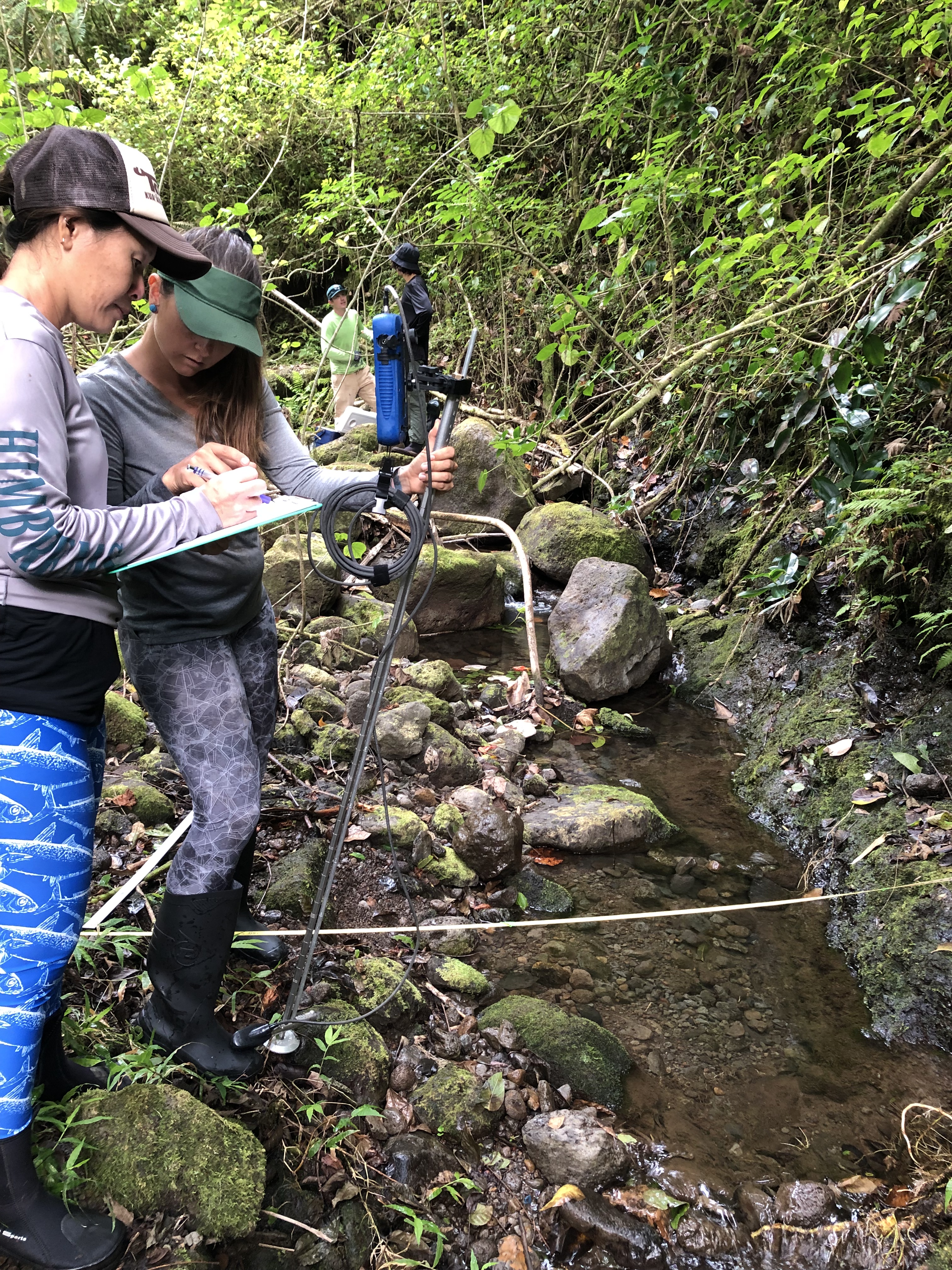
Mālama Maunalua is in the process of developing our mauka watershed monitoring program. Initial characterization of water quality across the 10 watersheds found in Maunalua is currently underway. We are measuring stream discharge, water quality, nutrients, and biogeochemistry for the streams entering Maunalua. This work will inform target impacted sites for restoration, and will serve as a record of current conditions prior to ongoing restoration. Stream discharge in the upstream, midstream, and nearshore regions of Maunalua streams will be quantified using a flow meter. Stream discharge measurements will be paired with water quality (temperature, conductivity, oxygen, pH, turbidity, and chlorophyll) measurements from a multiparameter sonde (YSI EXO 2) and geochemical tracer methods (nutrient grab samples, radon samples, water isotopes, and age tracers). Measurements will occur after a period of prolonged rainfall in order to capture conditions when streams are flowing. Combined stream discharge and geochemical tracer measurements will identify stream flow and interactions between groundwater and surface water. Geochemical tracer methods include radon as a groundwater discharge tracer, chlorofluorocarbon (CFCs) age tracers to identify shallow versus deep groundwater flow, and stable isotopes of water to identify water masses based on recharge elevation and evaporation. This effort will result in maps identifying gaining and losing reaches of the streams, and elevation of source water origin for identifying forest restoration locations that will result in the highest increases in groundwater flow.
Postdoctoral Positions
Wetland Water and ‘Ike (WAI): Improving Understanding of Hydrology to Inform Management Decisions
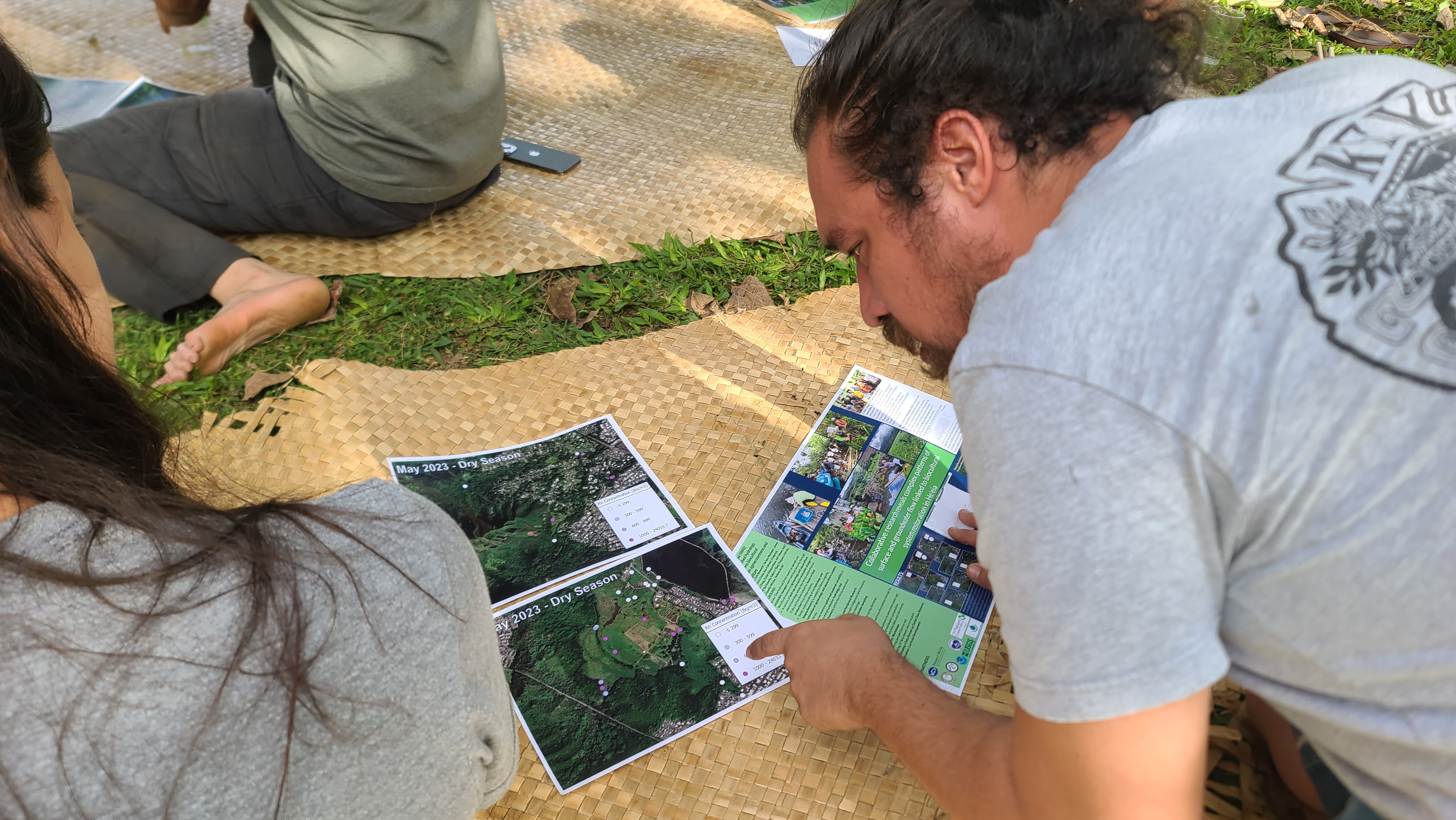
As a postdoctoral wetland scientist at the Heʻeia National Estuarine Research reserve I led a collaborative study of the biogeochemistry and hydrology of the Heʻeia watershed to inform biocultural restoration.
Using a reciprocal collaboration approach, this project revealed complex patterns of surface and groundwater flow to support Indigenous resource management strategies for biocultural restoration.
Native Hawaiian communities hold wai (fresh water) and its life-giving power as sacred. Wai has been historically managed by Native Hawaiian communities to sustain food security on the most remote islands on Earth. However, in the past century, land use and socio-economic change has transformed many of Hawaiʻi’s coastal landscapes, leading to altered groundwater recharge, storage, and transport, and reduced surface water flows. These changes have contributed to the decline of traditional agroecology and aquaculture systems at Heʻeia National Estuarine Research Reserve (NERR) on Oʻahu, Hawaiʻi. To bring back abundance into the Heʻeia ahupuaʻa (Native Hawaiian social-ecological land and sea division roughly following watershed boundaries), the community expressed the need to understand how much and what kind of wai flows through the wetland and estuary, and its potential influence on the restoration of Indigenous biocultural systems.
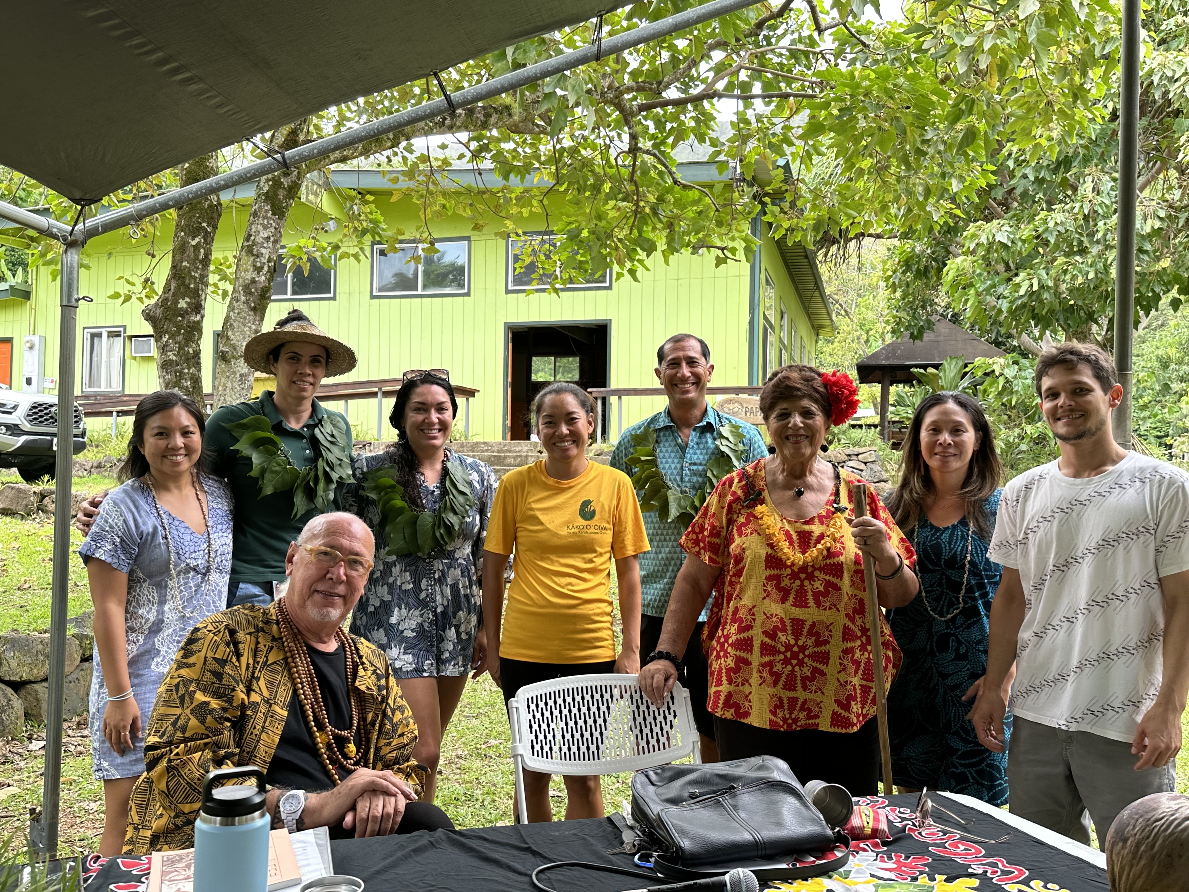
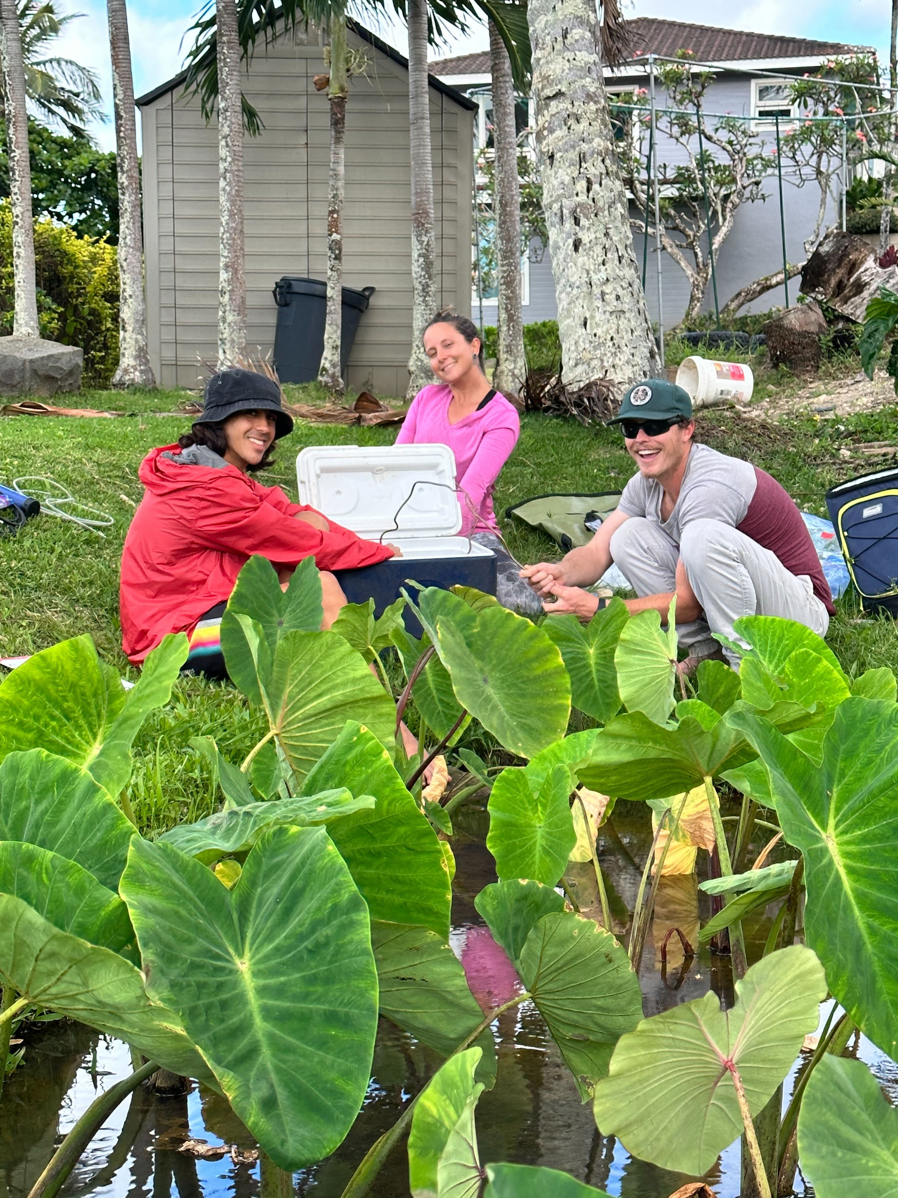
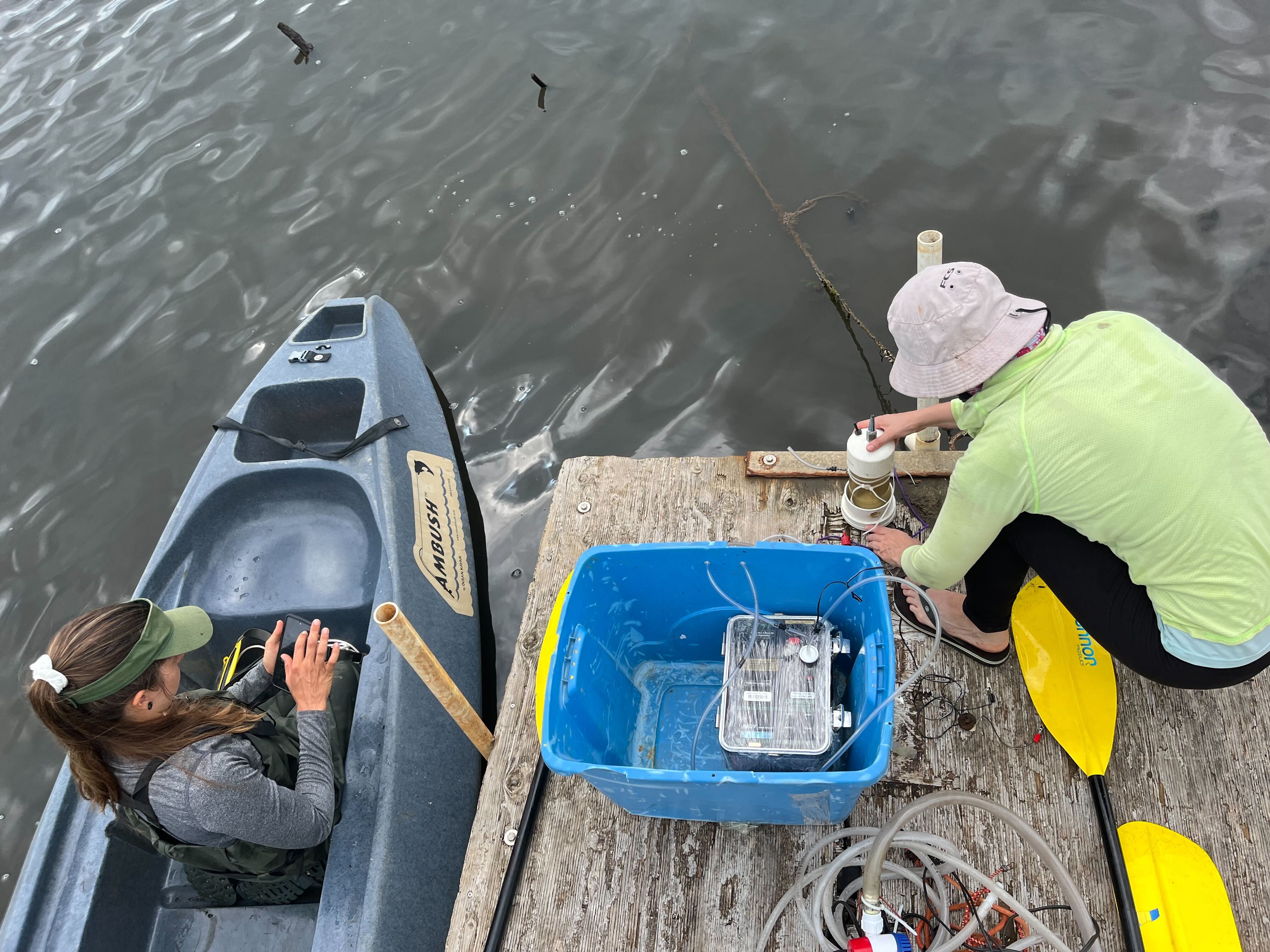
This project performed an in-depth characterization of surface and groundwater flow throughout Heʻeia to inform biocultural restoration and future groundwater management. Building on previous conceptual understandings, the project team measured surface and groundwater flow within Heʻeia. This project elucidated main questions characterizing the quantity, quality, and ages of surface and groundwater flowing through the Heʻeia watershed, with downstream implications for food and wildlife, fishpond productivity, and nearshore reef health. Looking forward, this work established collaborations with Indigenous resource managers, interfaced with complimentary work conducted by utility and government agencies, and provided ʻike to inform comprehensive and collaborative management of wai in the Heʻeia ahupuaʻa. The project’s collaborative process was essential to this work and included the convenings of a project advisory group and intended users (named Hui WAI). Iterative Hui WAI meetings shaped the project from its beginning to end, through the codevelopment of the proposal, research methods, workshops, and outputs. This process enhanced communication and relationships among investigators, resource managers, educators and helped build collective knowledge of the ways wai links biocultural restoration projects at partner sites.
Major outputs from this work include: 1) a dataset describing above and belowground hydrology and water quality in Heʻeia, including seasonal and extreme event variability; 2) a consolidated web-based access point to multiple data streams related to water quality and hydrology in Heʻeia; 3) workshops that promoted intergenerational transfer of ʻike (knowledge) of water management, with shared objectives of Indigenous and conventional knowledge on cultural, scientific, policy, and management aspects of water; 4) piloted water science and management education programs at partner sites; and 5) data analysis reports and conference presentations shared with local, national, and international audiences advancing the knowledge of hydrology and nutrients as they relate to biocultural restoration.
Impacts:
- Tiered mentoring helped develop the skills and confidence of water scholars at stages in their career and education.
- Enhanced communication and relationships among investigators, resource managers, educators, and users which has inspired future reciprocal and collaborative efforts at the watershed-scale.
- Researchers and partners attained a more nuanced understanding of hydrology and nutrient dynamics in Heʻeia watershed, and will apply this understanding to policy decisions, agro-ecosystem and Indigenous aquaculture restoration planning, and habitat conservation.
- Improved access to up-to-date data from multiple sources, allowing resource managers to better adjust management practices on daily to monthly scales.
- Better understanding of cultural values surrounding wai, local hydrology, relevant water policies through the workshops and implementation of education curricula.
Biogeochemist at Dulai Lab
As a postdoctoral researcher with the Dulai lab I led an investigation of trace metal concentrations in submarine groundwater discharge springs across Pacific Islands. Measures of trace metals in submarine groundwater discharge (SGD) and coastal waters of nearshore Pacific Island ecosystems reveal pathways for trace metal delivery from watersheds to nearshore ecosystems, and transformations of trace metals that occur along these pathways. The delivery of trace metals to nearshore ecosystems via SGD has implications for nearshore ecosystem ecology. This is an important pathway for land-use derived trace metal pollution to reach and impact nearshore ecosystems. In this work, trace metals were measured in samples of SGD from Rapa Nui, American Samoa, and the Hawaiʻi. Patterns of trace metal delivery reveal implications of redox environments, nutrient pollution, and island age on trace metal delivery. We then discuss the implications of trace metal pollution via SGD on nearshore reef ecology.
Dissertation
I. Macroalgal physiological response to submarine groundwater discharge
My work focuses on macroalgal physiological ecology at sites of Submarine Groundwater Discharge(SGD), springs that deliver fluxes of fresh, nutrient rich groundwater from the subterranean estuary to nearshore reef ecosystems. A prominent feature on Hawaiʻi’s coasts and worldwide on basaltic high islands and shorelines, SGD conditions are tidally driven and create highly dynamic conditions of salinity, temperature, pH, and nutrient availability. At SGD influenced sites macroalgae can be exposed to changes from 0 to 100% open ocean salinity over the tidal cycle, so how do these plants physiologically cope with this and other physical changes associated with SGD influence? This chapter measures integrated response in photosynthesis and tissue water potential(TWP) regulation by four species across a gradient of SGD influence at Wailupe beach, on the south shore of Oʻahu. Two closely related species pairs were examined for comparison, two of Hawaiʻi’s most prominent invasives which are prominent across this and other SGD influenced sites, Gracilaria salicornia and Acanthophora spicifera, and a sister genera to each, Hydropuntia perplexa(which we had hoped was the native limu Manuaea, Gracilaria coronopifolia, but molecularly turned out to be this recently discovered cryptic invasive), and the native Laurencia dendroidea.


II. Characterization of the benthic community on submarine groundwater discharge influenced reefs
This chapter focuses on characterizing the community structure and diversity across three SGD influenced sites in Maunalua Bay: Wailupe beach, Kawaikui beach, and Kahala beach. Previous studies have demonstrated differences in the source and volume of nutrients delivered by SGD at these sites, and this work aims to examine how these and other differences in SGD characteristics might influence the diversity, species assemblages, and macroalgal abundance on SGD influenced reefs.

Learn more about how these analysis were conducted and explore the data here. The linked website was created in collaboration with programmers Levy Matsuda, Ioane Omerod, and Kain Yogi for ICS 484, a data visualization course taught by Dr. Jason Leigh at the University of Hawaiʻi at Mānoa.
III. The Chardakov method for determining tissue water potential for macroalgae: a methodology
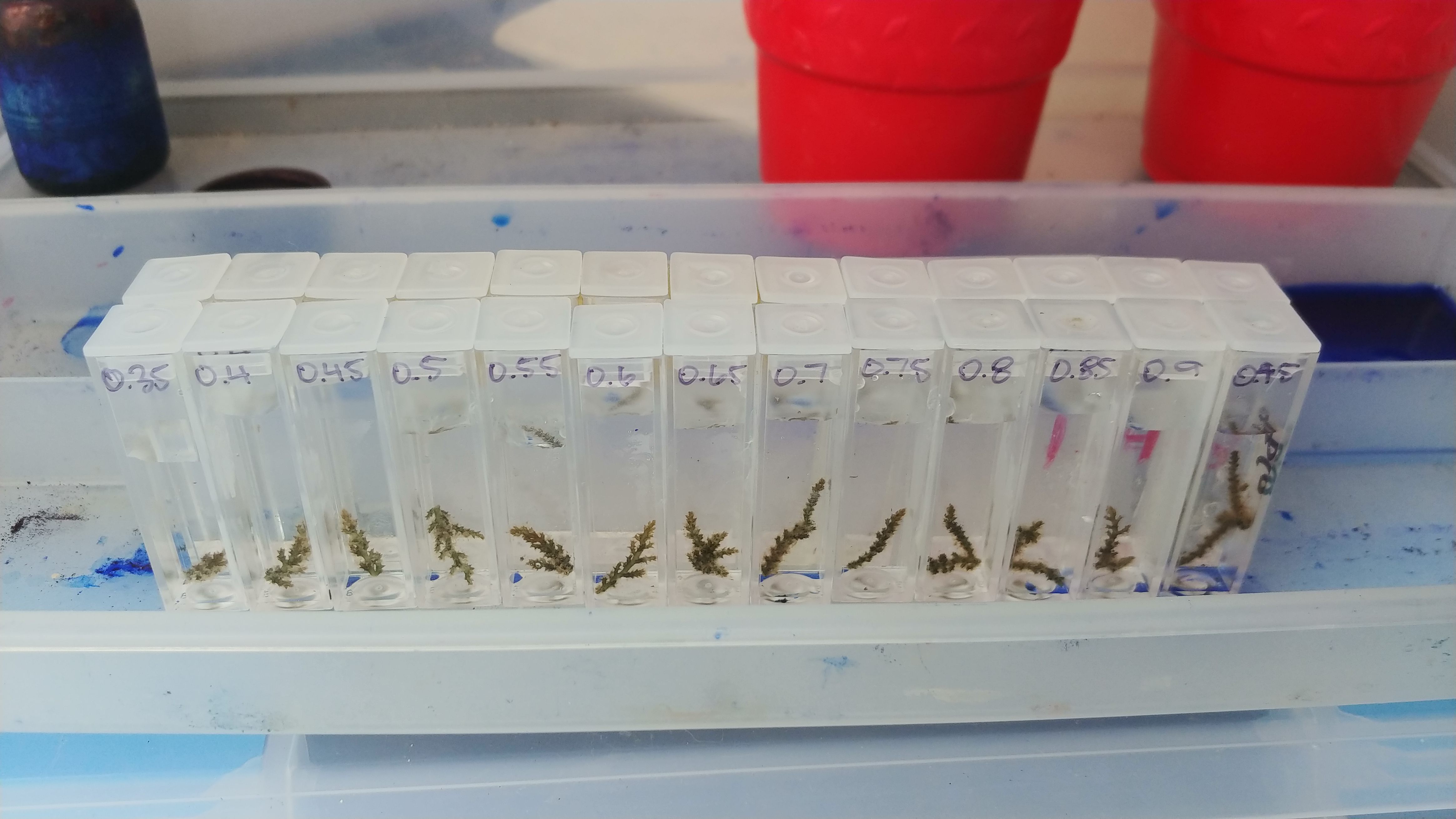
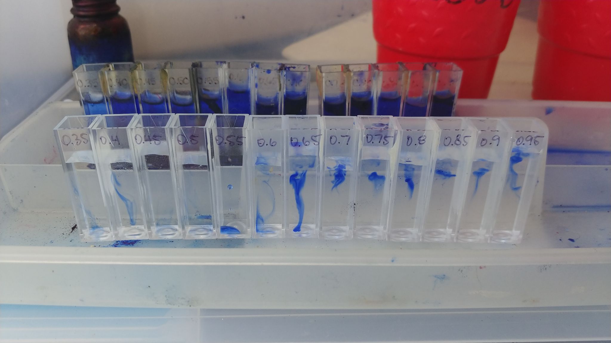
My final dissertation chapter describes and fine tunes the methodology used to measure tissue water potential(TWP) for the integrated response work. The Chardakov method measures the solute concentration within plant tissues by bathing plant tissues in solutions of known solute concentrations and finding the solution which does not change due to absorption or release of water from the plant part. A simple, cost effective, and efficient method for measuring TWP for macroalgal cells in the field, this method has not been updated and published in recent literature. Here, I take this method into the lab to measure how this method varies across morphologies, and how variables like incubation time, tissue volume, and surface area impact measured TWP.
Research Assistantship
I. Groundwater Dependent Ecosystems(GDEs) as social ecological systems and their linked cultural, ecological, and economic values in Kona Hawaiʻi
Abstract (article in review): Groundwater dependent ecosystems (GDEs) are increasingly recognized as important conservation targets with linked ecological and social value. However, the social values of GDEs are under-studied, precluding their full inclusion in policy and management decisions. We provide a case study from Kona, Hawaiʻi, where multiple types of GDEs are abundant, to illustrate the diversity of social values of GDEs. To do so, we combine a literature review, archival analysis, and key-informant-interviews with resource managers and lineal descendants connected to three prominent GDEs in Kona. Interviews focused on current and historical uses and values of GDEs, current management challenges and strategies, and desired visions for the future. Interviewees expressed a range of social values associated with GDEs, which we categorize using a Hawaiʻi-based cultural ecosystem service framework focused on social connections, physical and mental health, spirituality, and knowledge. Importantly, the historical value of these systems directly informs current cultural values, and restoration efforts are largely carried out through biocultural approaches, which emphasize the mutually reinforcing restoration of ecology and culture. Interviewees seek to restore ecosystem functions, cultural practice and connection to place, and in some cases, local food production. Achieving this requires addressing threats such as invasive species, land-based sources of pollution, and groundwater pumping, and rests on a continued amplification and revival of Indigenous knowledge and practice. Results provide important lessons for land and water management and policy in Hawaiʻi as well as other islands and coastal areas where GDEs have important linked social and ecological value.

II. Linking algal physiological and community data to groundwater and economic models of future land use and wastewater treatment scenarios
As part of a team of hydrogeologists, economists, and marine biologists we have created a model and decision making support tool for future scenarios showing the effects of land use, groundwater pollution and climate change on groundwater dependent ecosystems. The first part of this project has been published in PLOS one(link) . The next part of this research is ongoing, and will integrate macroalgal growth data into the model to project impacts of these scenarios on nearshore ecosytems, including areas of potential algal blooms and/or areas of coral and fisheries losses.
American Samoa: Linking hydrology, microbes, and macroalgae to human land use and coastal ecosystem health
As part of a Water Resource Research Center and USGS study I was a member of a multi-disciplinary team of hydrogeologists, microbiologists, and phycologists for a series of field expeditions to American Samoa led by PI Dr. Rosie Alegado. I first participated as a trainee under the apprenticeship of Hydrogeologist Dr. Chris Shuler, field ecologist Dr. Dan Amato, and microbiologist Dr. Lydia Baker, and in later expeditions acted as lead field scientist with fellow students, Nalani Olguin, microbiologist, and Eric Welch, hydrogeologist. Here we simultaneously collected hydrogeologic data for measuring submarine groundwater discharge fluxes using radon, water samples for nutrient profiles, algal species surveys, benthic analyses, and macroalgal tissue sampling and deployments for δ15N analyses, used in nitrogen source tracking (fertilizer, sewage, or natural soil level), and microbial samples for DNA analyses used to identify human versus non-human microbial sources. Our initial study linking land use to coastal ecosystems (abstract below) has been published in Hydrology. The microbial and benthic community analyses and write up are currently in progress.
This work provided key training from leaders in my field for the cross-disciplinary hydrology, ecology, and microbiology methods on which I have built the rest of my research. Some of the most rewarding parts of this research were working with and meeting local researchers in American Samoa at the Coral Reef Advisory Group(CRAG), USGS, and Sea grant, and being able to involve local students and colleagues from American Samoa Community College in our field surveys. We were very thankful to have the help in the field from Fa’asalafa Kitona, a Samoan researcher at CRAG, who assisted us by addressing the village matai(village head) in the formal Samoan tongue and to assist us in entering the village community at our study site in a culturally appropriate way, which likely vastly improved the village’s reception of our work.
Assessment of Terrigenous Nutrient Loading to Coastal Ecosystems along a Human Land-Use Gradient, Tutuila, American Samoa
Abstract: Anthropogenic nutrient loading is well recognized as a stressor to coastal ecosystem health. However, resource managers are often focused on addressing point source or surface water discharge, whereas the impact of submarine groundwater discharge (SGD) as a nutrient vector is often unappreciated. This study examines connections between land use and nutrient loading through comparison of four watersheds and embayments spanning a gradient of human use impact on Tutuila, a high tropical oceanic island in American Samoa. In each study location, coastal radon-222 measurements, dissolved nutrient concentrations, and nitrogen isotope values (δ15N) in water and in situ macroalgal tissue were used to explore SGD and baseflow derived nutrient impacts, and to determine probable nutrient sources. In addition to sampling in situ macroalgae, pre-treated macroalgal specimens were deployed throughout each embayment to uptake ambient nutrients and provide a standardized assessment of differences between locations. Results show SGD-derived nutrient flux was more significant than baseflow nutrient flux in all watersheds, and δ15N values in water and algae suggested wastewater or manure are likely sources of elevated nutrient levels. While nutrient loading correlated well with expected anthropogenic impact, other factors such as differences in hydrogeology, distribution of development, and wastewater infrastructure also likely play a role in the visibility of impacts in each watershed.


